Issue 32
US Thanksgiving holiday edition. Read and enjoy over the long weekend - if you have one. All issues can be found at: https://geocraic.com/
World
15 Minute City. Just ran across this site and I like it. I am a big proponent of the concept since actually living it in Berlin for nearly 4 years. From their “about” page: “Everyone living in a city should have access to essential urban services within a 15 minute walk or bike. The 15-Minute City Project is designed to help access-focused urban transformations be what we need them to be: ambitious, inclusive, measurable and effectively implemented.”. I wish ALL city planners, in big or small cities, had this philosophy in mind. We need to build UP, not out.
- The 15 Minute City: https://www.15minutecity.com/
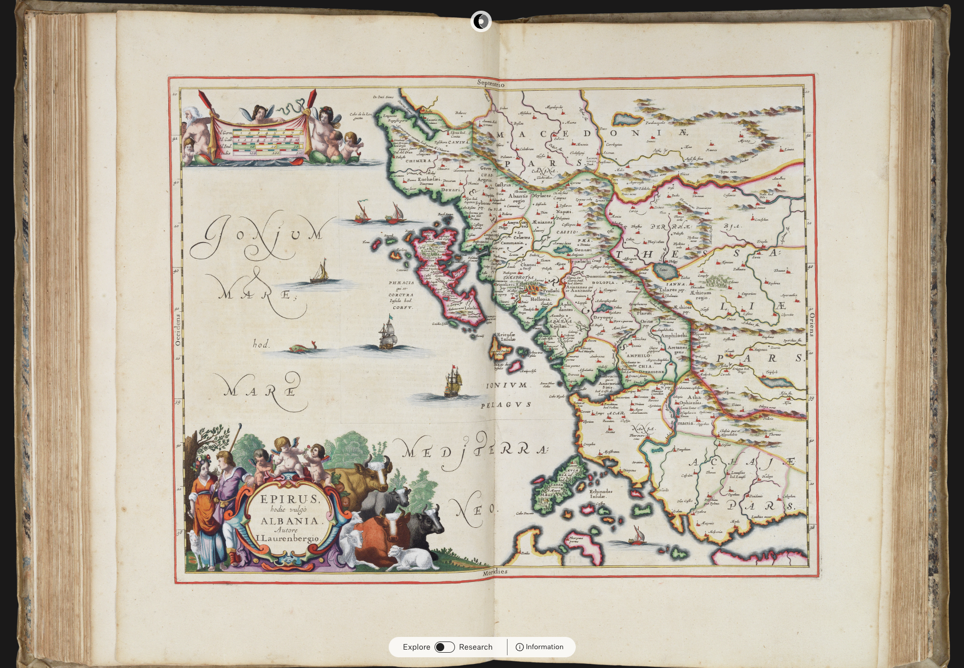
Historic Maps A site new to me and interesting for exploring historic maps.

Rome
Winner of the Journal of Archaeological Science Reproducibility Price is a paper on Circuit Theory applied to urbanism in the Roman Adriatic. The use of Circuit Theory, over LCP (Least Cost Path) is new to me as a means for analysing mobility of ancient peoples. Can it be used to model something like the Kelp Highway? I am a big proponent of Open Science (and Open Data and Open Source). This openness is changing the world for the better. Boo, hiss, to ivory towers and closed off research.
- Beyond Least Cost Paths: Circuit theory, maritime mobility and patterns of urbanism in the Roman Adriatic: https://www.sciencedirect.com/science/article/pii/S0305440321002089?via%3Dihub
- Open Science Framework: https://osf.io/
- Kelp Highway: https://blog.education.nationalgeographic.org/2017/11/08/did-the-first-americans-take-a-ride-on-the-kelp-highway/
Singapore
Singapore interests me. I haven’t been, yet. Not only is it renowned for food, but now also for urban design. They are probably the most cutting edge “green” city with an intentional plan to make living urban surfaces. I really need to see it. Who wants to come?
- Excellent article. Also notes you have to be rich to achieve this so it is not scalable everywhere like this:. It’s a Substack page but you can click the “Continue Reading” button to get past the sub-wall: https://www.noahpinion.blog/p/singapore-urbanism?utm_campaign=post&utm_medium=web
- There is also a really good segment in the PBS “Human Footprint” series. Episode 5, The Urban Jungle. This is also an excellent series: https://pbs.org/video/the-urban-jungle-7grk9d?source=social
US
From Eric (Thanks Eric!). “Great graphics and reporting: It’s worth your time for the visualization.” Agreed. Amazing graphics that convey the numbers and magnitude extremely well. If you click on only one link from this issue, make it this one.
- ProPublica is knocking my sox off with this story map: https://projects.propublica.org/california-farmers-colorado-river/
New way to access 3DEP
- New collection of Jupyter Notebooks enables programmatic access to cloud-hosted USGS 3D Elevation Program (3DEP) lidar data: https://opentopography.org/blog/new-collection-jupyter-notebooks-enables-programmatic-access-cloud-hosted-usgs-3d-elevation
Nice winter gift for all of us gardeners. Plant Hardiness Zone map updated. For the first time in a decade, there’s a new 2023 Plant Hardiness Zone map for 2023.
- NPR Article: https://www.npr.org/2023/11/17/1213600629/-it-feels-like-im-not-crazy-gardeners-arent-surprised-as-usda-updates-key-map
- USDA Map: https://planthardiness.ars.usda.gov/>
Demographics
Zoomers over Boomers. For the first time, Zoomers will overtake Boomers in the US at work next year.
PNW
Ice Age Floods I’ll wrap up with this, there’s a new video series by Nick Zentner, longtime geology professor at Central Washington University in Ellensburg, WA. Most of us in the Pacific Northwest know him from his popular “Nick on the Rocks” Public Television series. He started an “A to Z” series on different topics on Youtube during the pandemic, and he’s 4 episodes into his latest “Ice Age Floods A to Z”. Those of us trained in Geography in the PNW are quite familiar with the story of the Missoula Floods. But, there’s some new info and nuances coming out of new research which is very interesting. Nick does these videos live and has a crowd of loyal live viewers who call themselves Zentnerds. A motivating factor for him is that doing these live lets him learn from the audience as well and some of them are quite informed. I’ve known the story since the late 1980’s when Carl Johannsen would take us into the field to show us glacial erratics and sediment deposits in the Willamette Valley left from previous floods. But, this latest series promises to be an interesting look at both the history of the science and at the latest research and questions that seem to be asking about a much longer timeline of floods from earlier ice ages and other sources of the water than glacial Lake Missoula. Did the coulees already exist before the latest set of outbreak floods? One of my interests is, what happened to the people? Even if the humans didn’t occupy the landscape until the later set of floods, they were here. They would have been living along the rivers. I want to hear more from the indigenous people about their floods stories.
- Charlie, is there anything you know of for evidence for outbreak glacial floods in Ireland?
- Episode A - The Missoula Floods Story. The opening episode where Nick sets the stage for the generally accepted data and analysis on the Ice Age Floods that scarred Eastern Washington so dramatically. But, this is just setting the table and most of you will be familiar with it. It is a good summary of the history and current evidence and analysis. Start here or skip to Episode B if you have less time. https://www.youtube.com/watch?v=1tqBgiozZs4
- Really excellent story map from WA DNR. https://data-wadnr.opendata.arcgis.com/apps/wadnr::washingtons-ice-age-floods/explore
- NPS Ice Age Floods National Geologic Trail Map: https://www.nps.gov/iafl/planyourvisit/maps.htm
- Tom Foster was an Ellensburg local who had a passion for the Missoula floods, became a friend of Nick’s, and was an incredible photographer of features and landscapes of the floods. Sadly he’s gone now but his excellent site is still maintained by his family and the IAFI: https://hugefloods.com/
- Ice Age Floods Institute. Lots of info on their site: https://www.iafi.org/